top of page

World money
Information site about world money

Roseau
DOMINICA
Island Country
Capital and largest city: Roseau
15°18′N 61°23′W
Official language: English
Area: 750 km2
Currency: East Caribbean dollar (XCD)
Time zone: UTC–4 (AST)
Driving side: left
Calling code: +1-767
ISO 3166 code: DM

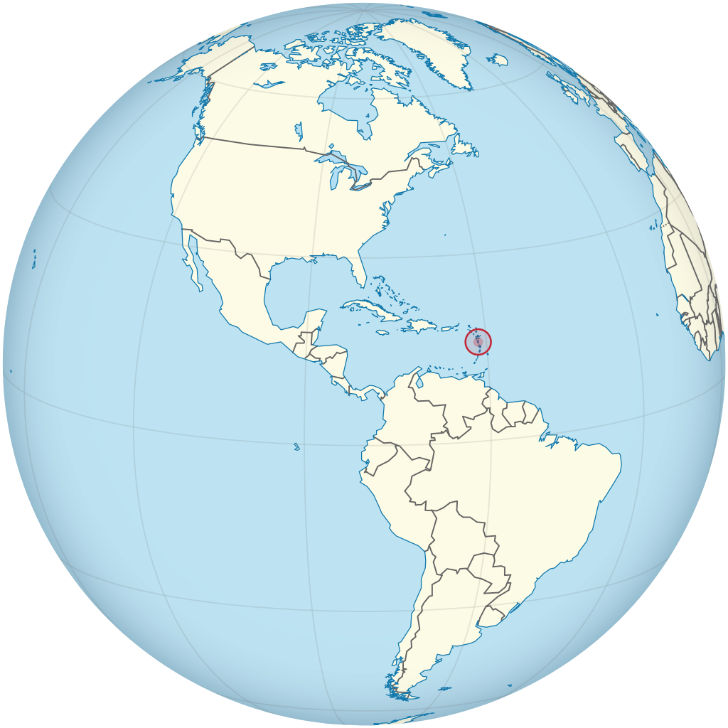
Dominica is an Island country in the West Indies. The capital, Roseau, is located on the western side of the island. It is part of the Windward Islands in the Lesser Antilles archipelago in the Caribbean Sea. The island is located near Guadeloupe to the northwest and Martinique to the south-southeast. The highest point is Morne Diablotins, at 1,447 m in elevation.
bottom of page